
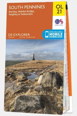
South Pennines
£10.47
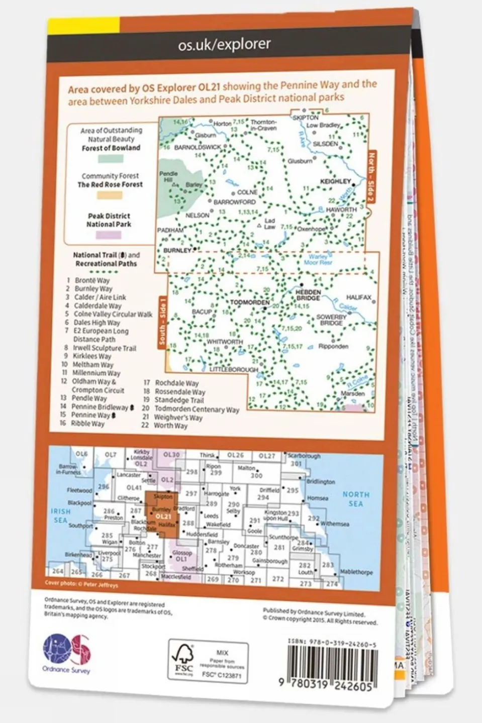
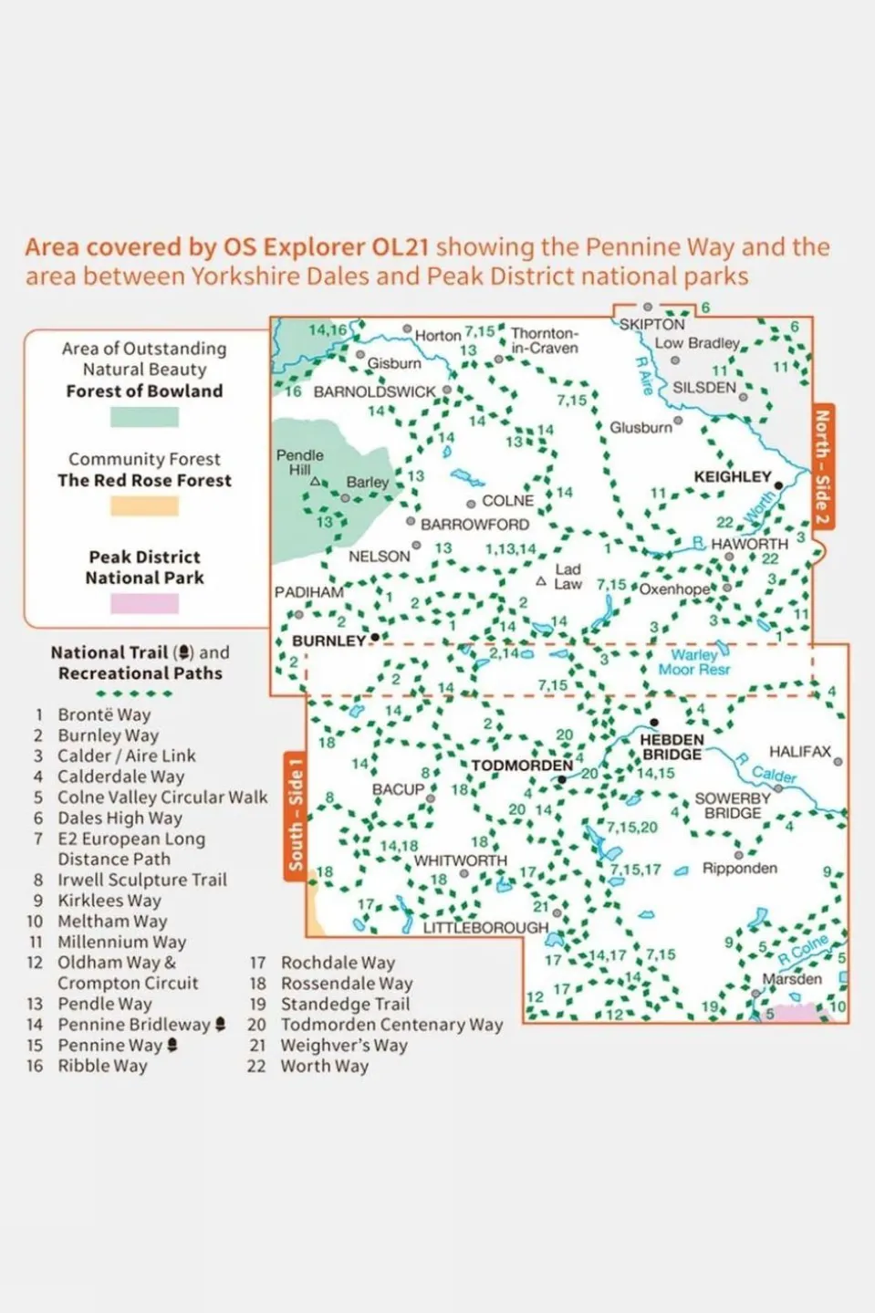
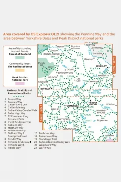
Ordnance Survey Explorer 1:25000 scale map covering the South Pennines.With its 4cm to 1km (2? inches to 1 mile) scale, the OS Explorer Map series has been adopted by many individuals and organisations involved in outdoor activities ? from walkers to cyclists and from horse riders to climbers and water sports enthusiasts.Every part of England, Scotland and Wales is covered by 403 maps that include National Trails, Recreational Paths, picnic areas, viewpoints and selected places of interest. In addition, there?s Rights of Way information for England and Wales.
Technical details
Ideal use:
Walkers, climbers, mountain bikers, outdoor professionals
Materials:
Paper
Key features:
1:25,000 scale for detailed mapping
Mobile download available
National Park information
Foldable for easy storage
Areas of interest
National Trails
Picnic spots
Campsites
Tech specs:
Type: Standard
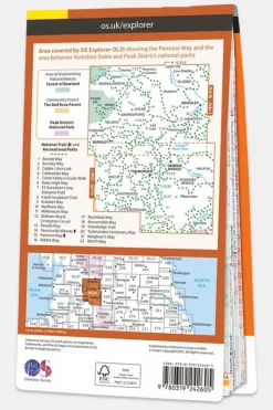
Map reference: Explorer Map OL21 South Pennines, Burnley, Hebden Bridge, Keighley & Todmorden
Size and fit:
Folded dimensions: 240 x 135mm


Reviews
There are no reviews yet.