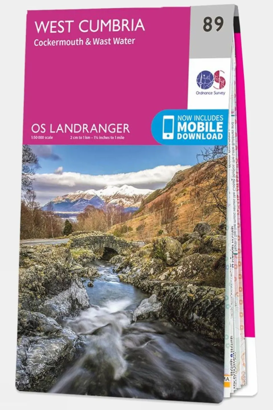
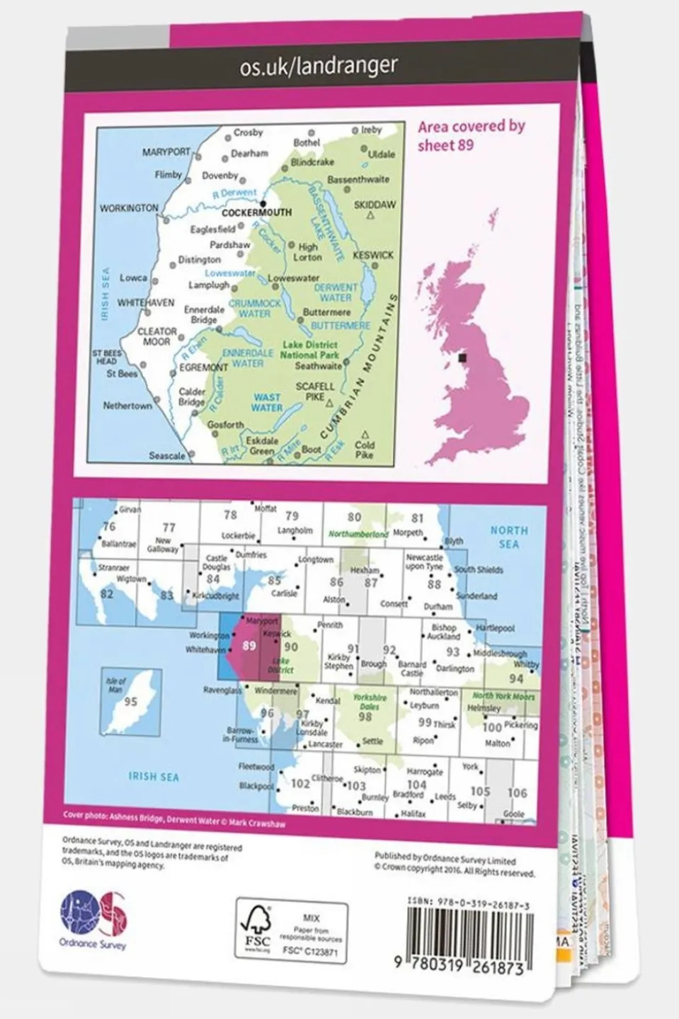


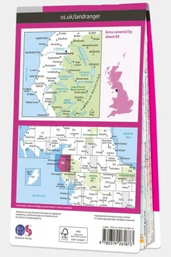
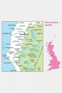
Landranger Map 89 West Cumbria
£10.84
£10.84
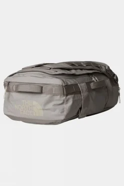
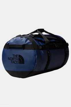
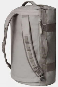
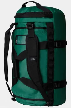
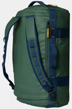
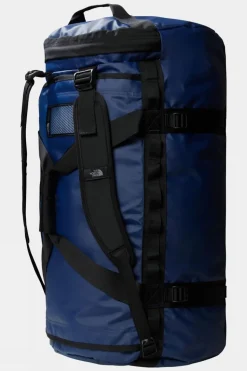
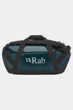
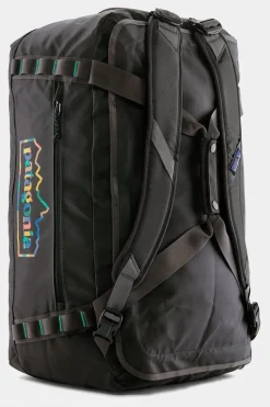
Duffels+Luggage
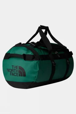
Duffels+Luggage
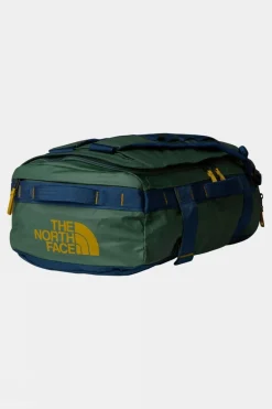
Duffels+Luggage

Duffels+Luggage

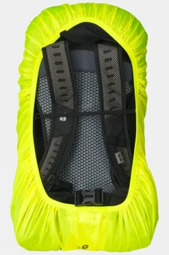
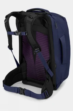
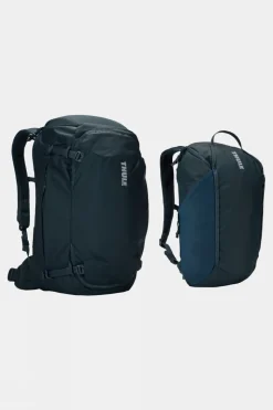
Equipment + Packs
Duffels+Luggage
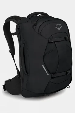
Equipment + Packs
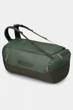
Duffels+Luggage
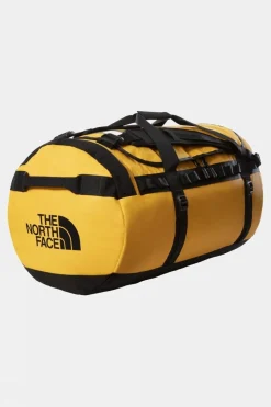
Duffels+Luggage
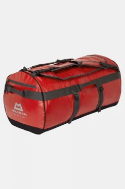
Duffels+Luggage
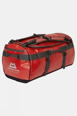
Duffels+Luggage
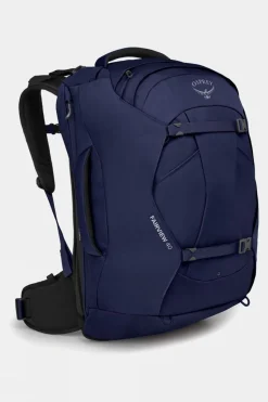
Equipment + Packs
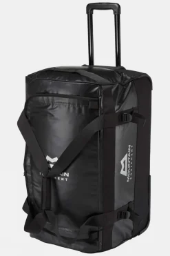
Duffels+Luggage
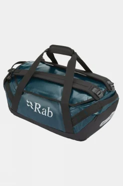
Duffels+Luggage
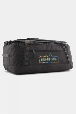
Duffels+Luggage
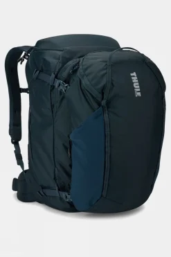
Equipment + Packs


Reviews
There are no reviews yet.