Sale!
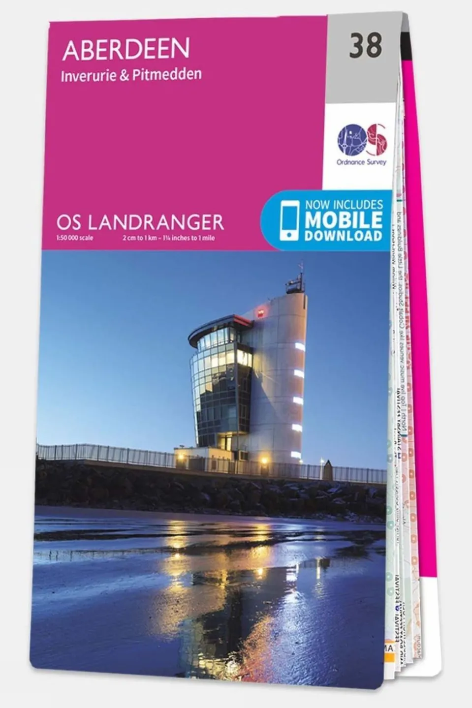
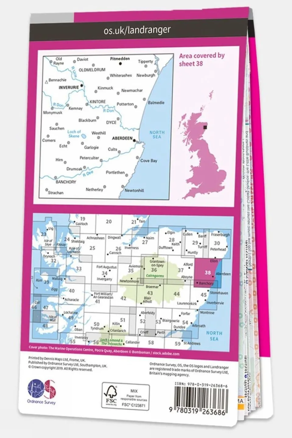
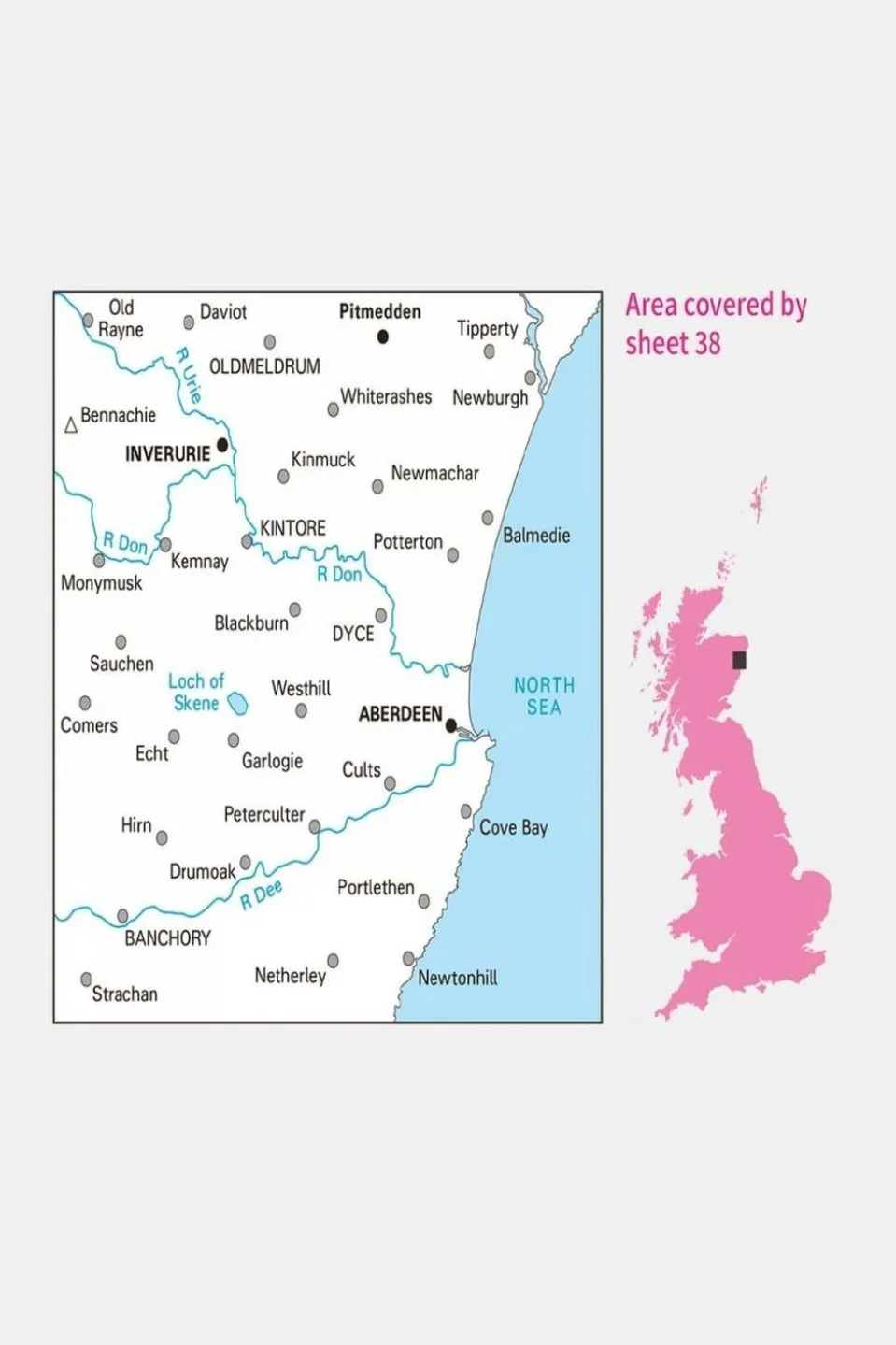
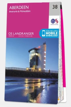
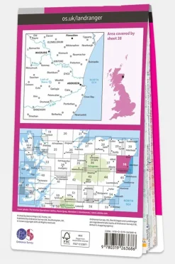

Landranger Map 38 Aberdeen
Original price was: £8.47.£7.54Current price is: £7.54.
Original price was: £8.47.£7.54Current price is: £7.54.
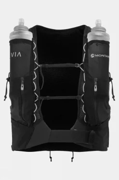
| Color | V16, V19 |
|---|

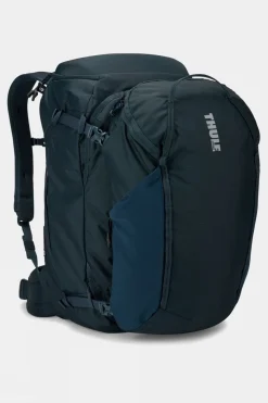
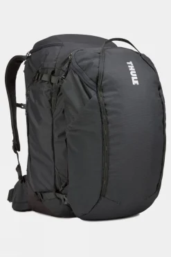
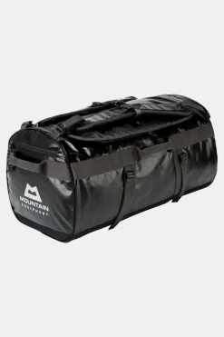
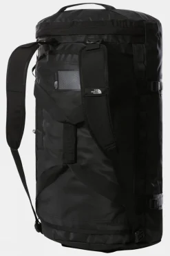
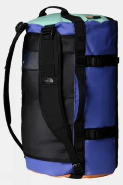
Duffels+Luggage

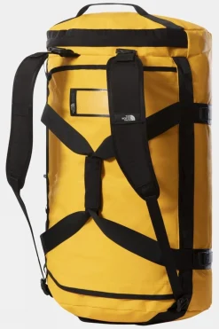
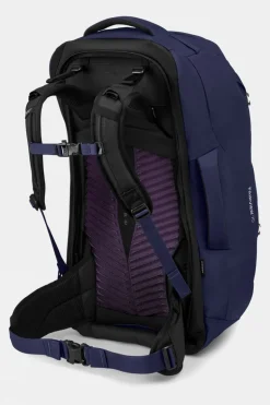
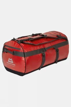
Duffels+Luggage

Duffels+Luggage

Duffels+Luggage

Duffels+Luggage

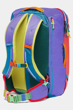
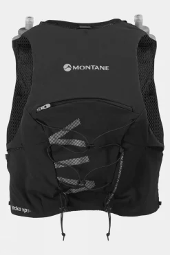
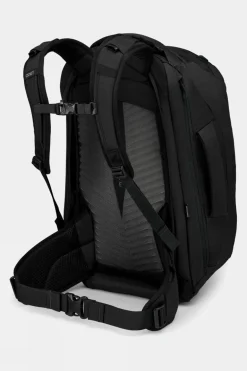
Equipment + Packs

Duffels+Luggage

Duffels+Luggage
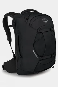
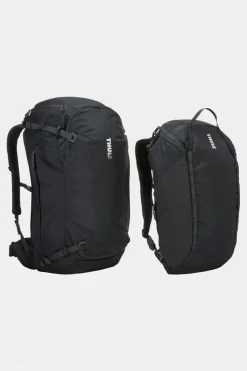
Daypacks
Equipment + Packs

Duffels+Luggage

Equipment + Packs

Equipment + Packs
Equipment + Packs
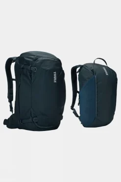
Duffels+Luggage
Equipment + Packs


Reviews
There are no reviews yet.