Sale!
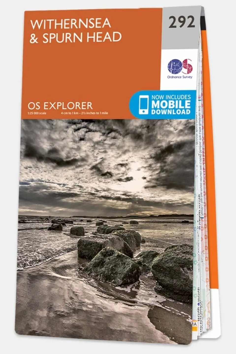
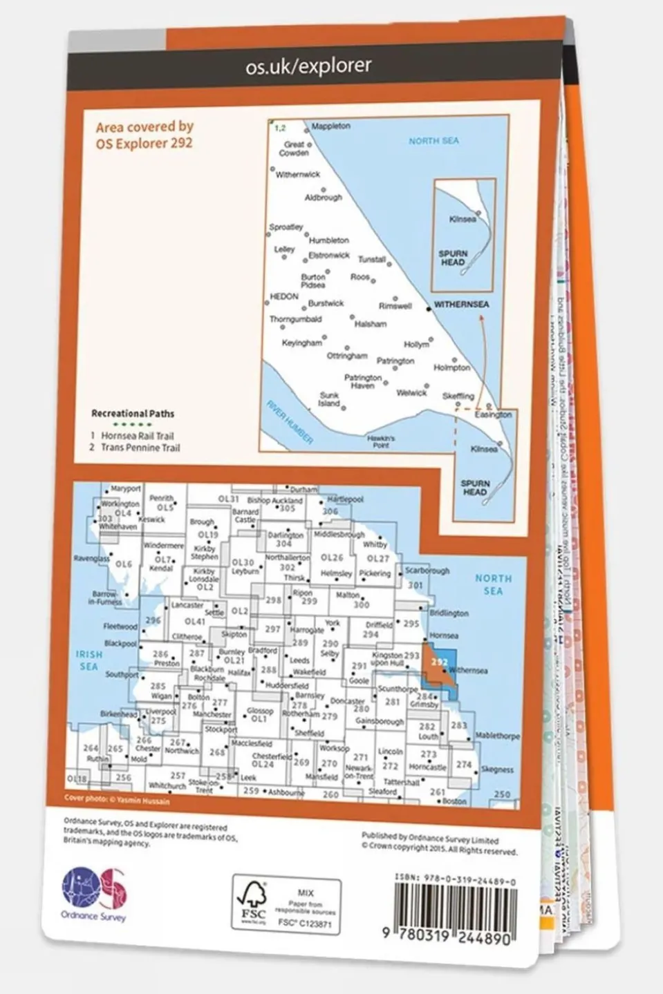
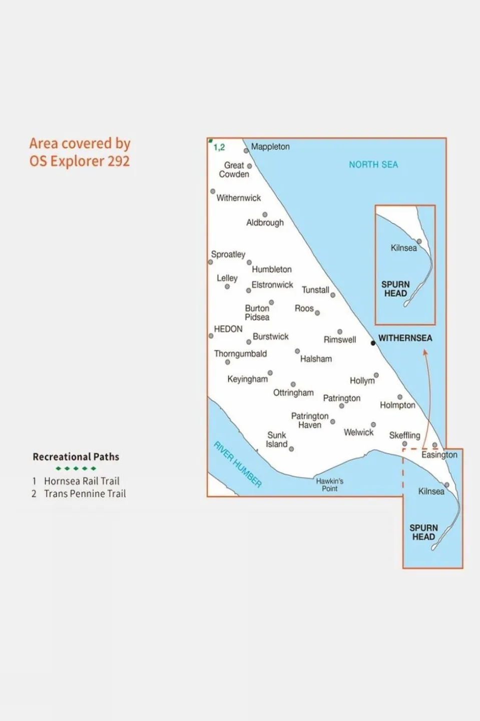
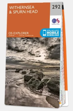
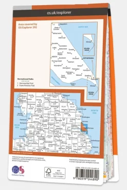
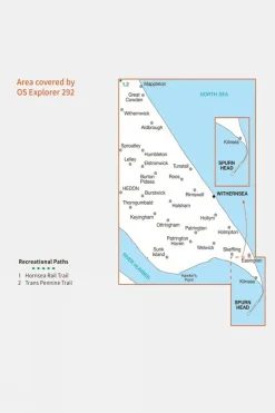
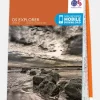
Explorer Map 292 Withernsea and Spurn Head
Original price was: £12.32.£9.98Current price is: £9.98.
Original price was: £12.32.£9.98Current price is: £9.98.

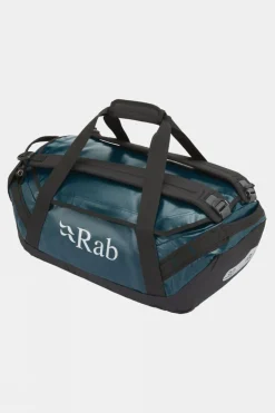
Duffels+Luggage

Daypacks

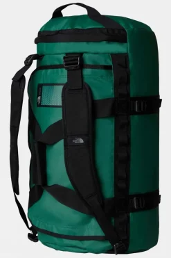
Duffels+Luggage

Duffels+Luggage
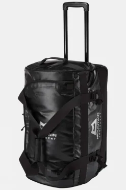
Duffels+Luggage

Duffels+Luggage
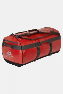
Duffels+Luggage

Duffels+Luggage
Duffels+Luggage

Duffels+Luggage

Duffels+Luggage

Duffels+Luggage

Duffels+Luggage
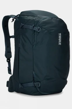
Equipment + Packs

Equipment + Packs

Apres


Reviews
There are no reviews yet.