Sale!
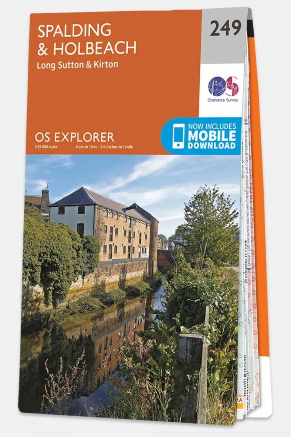

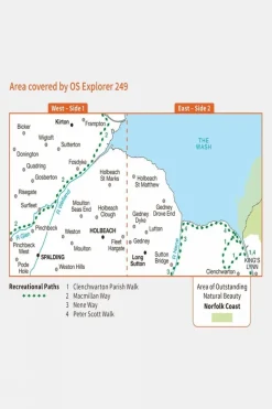
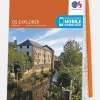
Explorer Map 249 Spalding and Holbeach
Original price was: £12.32.£10.60Current price is: £10.60.
Original price was: £12.32.£10.60Current price is: £10.60.
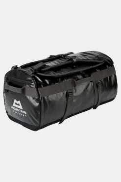
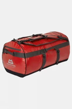
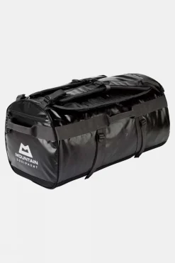
Duffels+Luggage
Duffels+Luggage

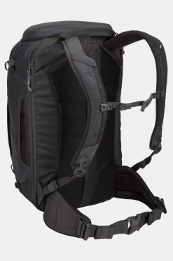
Equipment + Packs

Equipment + Packs

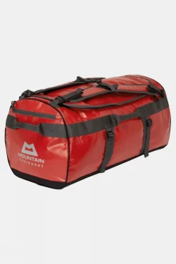
Duffels+Luggage

Duffels+Luggage

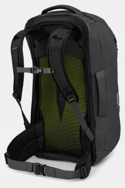
Equipment + Packs

Daypacks
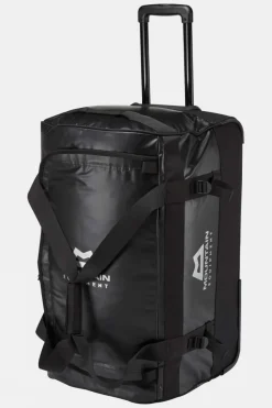
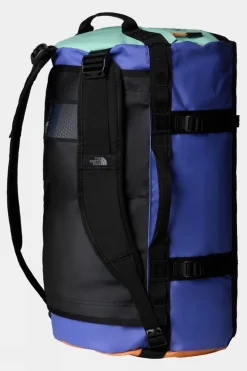
Duffels+Luggage

Duffels+Luggage

Duffels+Luggage

Duffels+Luggage

Duffels+Luggage

Duffels+Luggage
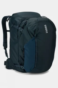
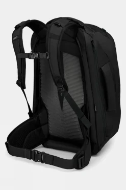
Equipment + Packs

Apres


Reviews
There are no reviews yet.