Sale!

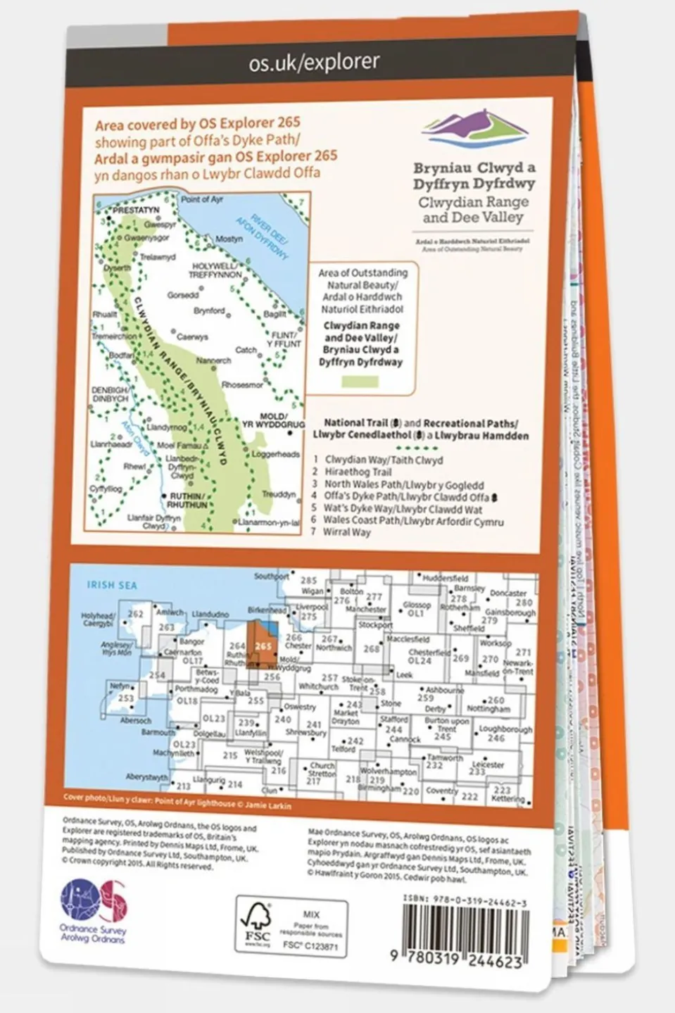

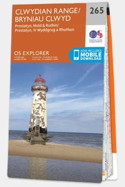

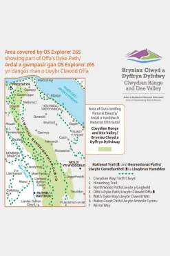
Clwydian Range
Original price was: £12.32.£11.09Current price is: £11.09.
Original price was: £12.32.£11.09Current price is: £11.09.
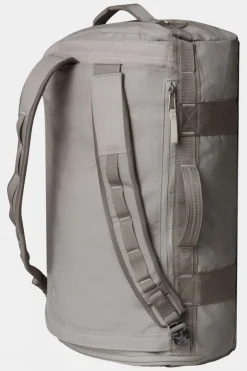
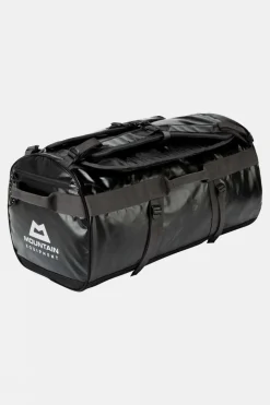
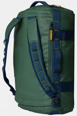
Duffels+Luggage
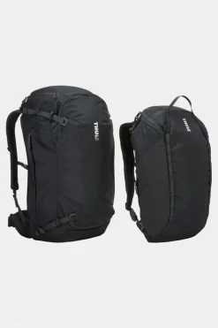
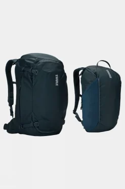
Equipment + Packs
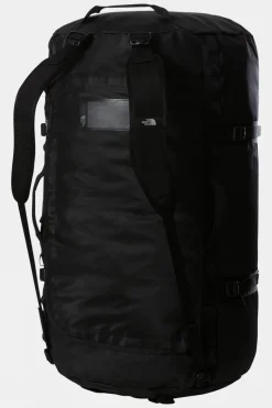
Duffels+Luggage

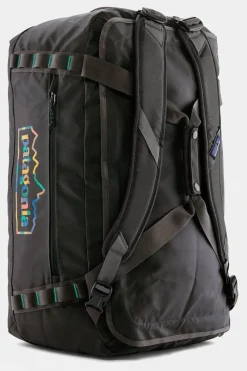
Duffels+Luggage
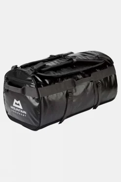
Duffels+Luggage
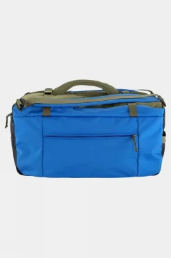
Duffels+Luggage
Duffels+Luggage
Duffels+Luggage
Equipment + Packs
Equipment + Packs
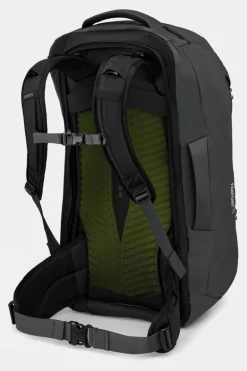
Daypacks
Equipment + Packs

Duffels+Luggage
Equipment + Packs
Duffels+Luggage

Equipment + Packs


Reviews
There are no reviews yet.