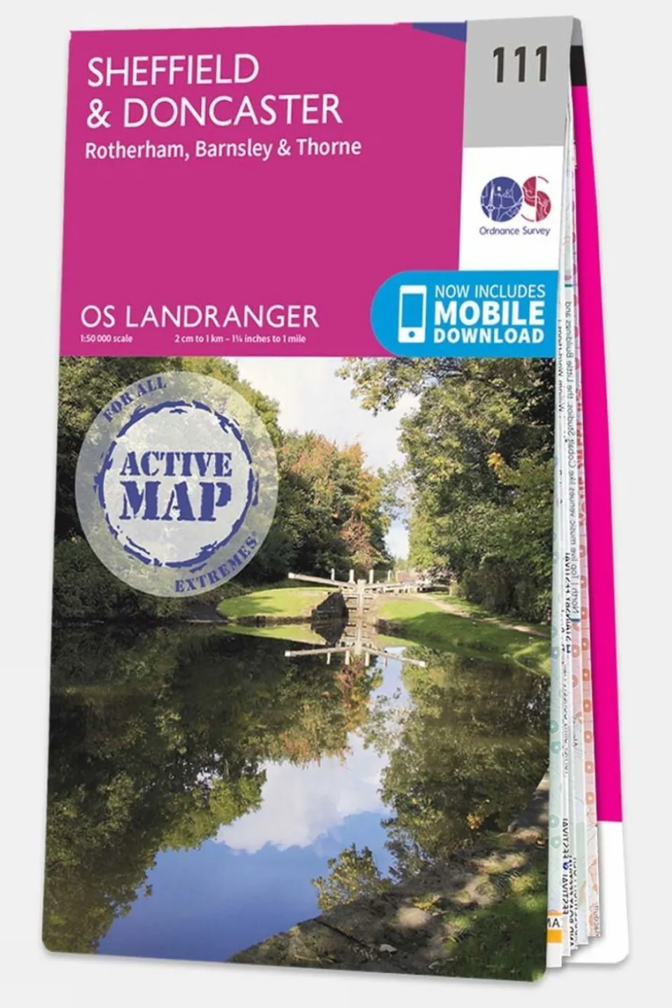
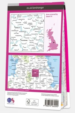

Active Landranger Map 111 Sheffield and Doncaster
£14.07
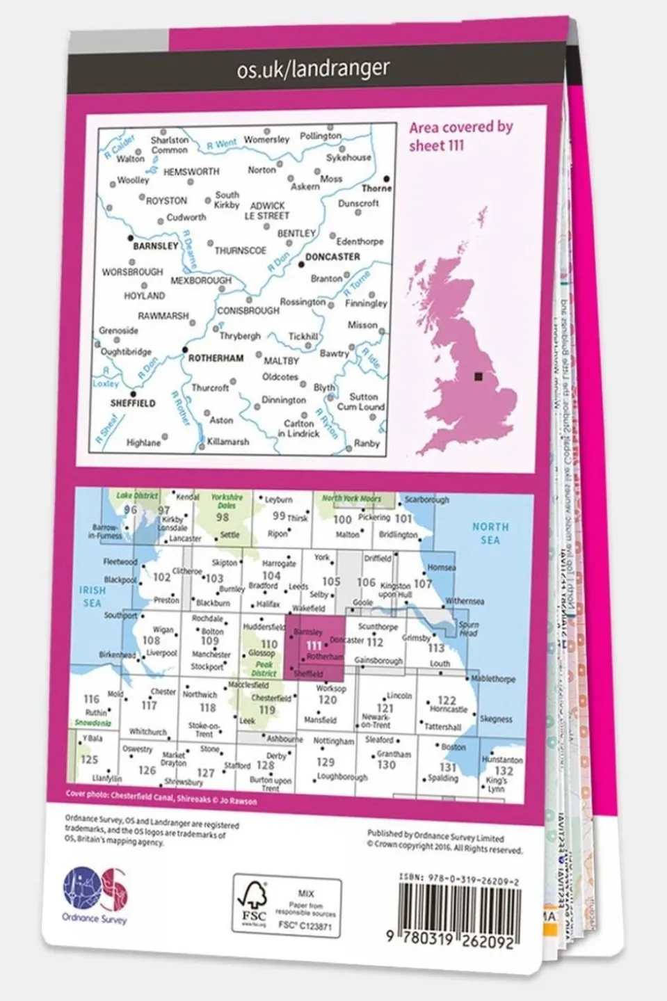
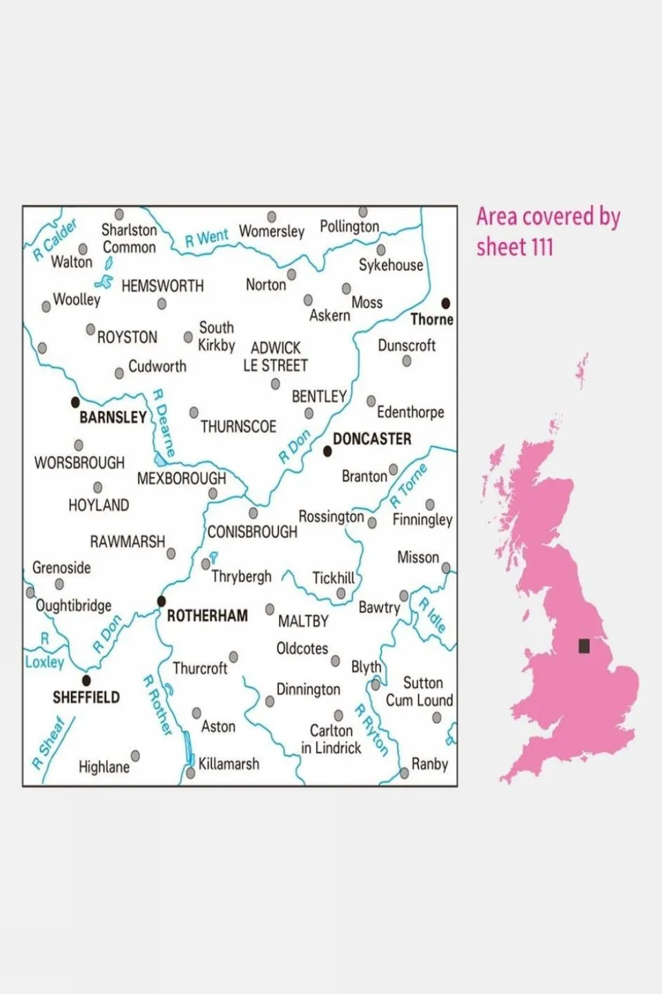
Explore the great outdoors with the Landranger Series of OS Maps, ideal for day trips and short breaks throughout Great Britain. Each map offers a clear, easy-to-read 1:50,000 scale, covering an expansive area of 40 by 40 kilometers (25 by 25 miles). Featuring National Grid squares, every location in the country is assigned a unique identifying number, ensuring precise navigation. These maps provide a wealth of geographical details, highlighting points of interest, picnic spots, campsites, and essential tourist information. For those in England and Wales, Rights of Way information is also included, making it easier to plan your route.
The Active version of the Landranger maps boasts a durable plastic coating, making it tough and weatherproof, while still being conveniently foldable for easy storage in your pocket or rucksack. Upon receiving your paper map, you can download the electronic version to your iOS or Android device through the Ordnance Survey’s OS Maps app. Simply use the unique code found behind the scratch-off panel on the inside cover. Please note that revealing this code will prevent any returns for a refund or exchange, in accordance with your statutory rights.
Technical details
Ideal use:
Walkers, climbers, mountain bikers, outdoor professionals
Materials:
Plastic-coated paper
Key features:
1:50,000 scale for detailed mapping
Weatherproof and tough design
Mobile download available
National Park information
Foldable for easy storage
National Grid squares for
Areas of interest
National Trails
Picnic spots
Campsites
Size and fit:
Folded dimensions: 240 x 135mm


Reviews
There are no reviews yet.