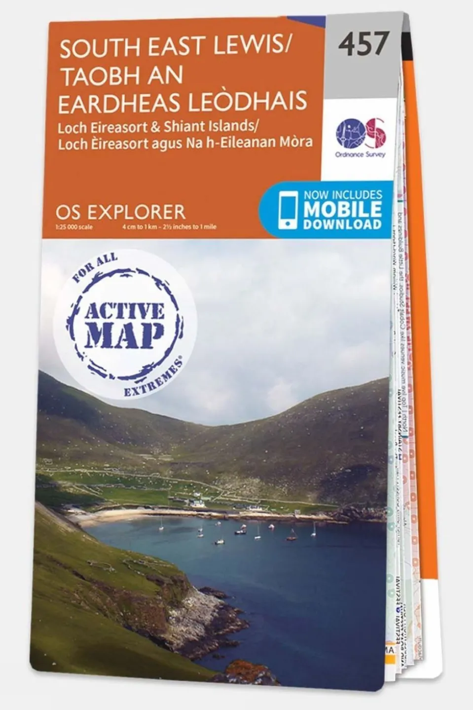

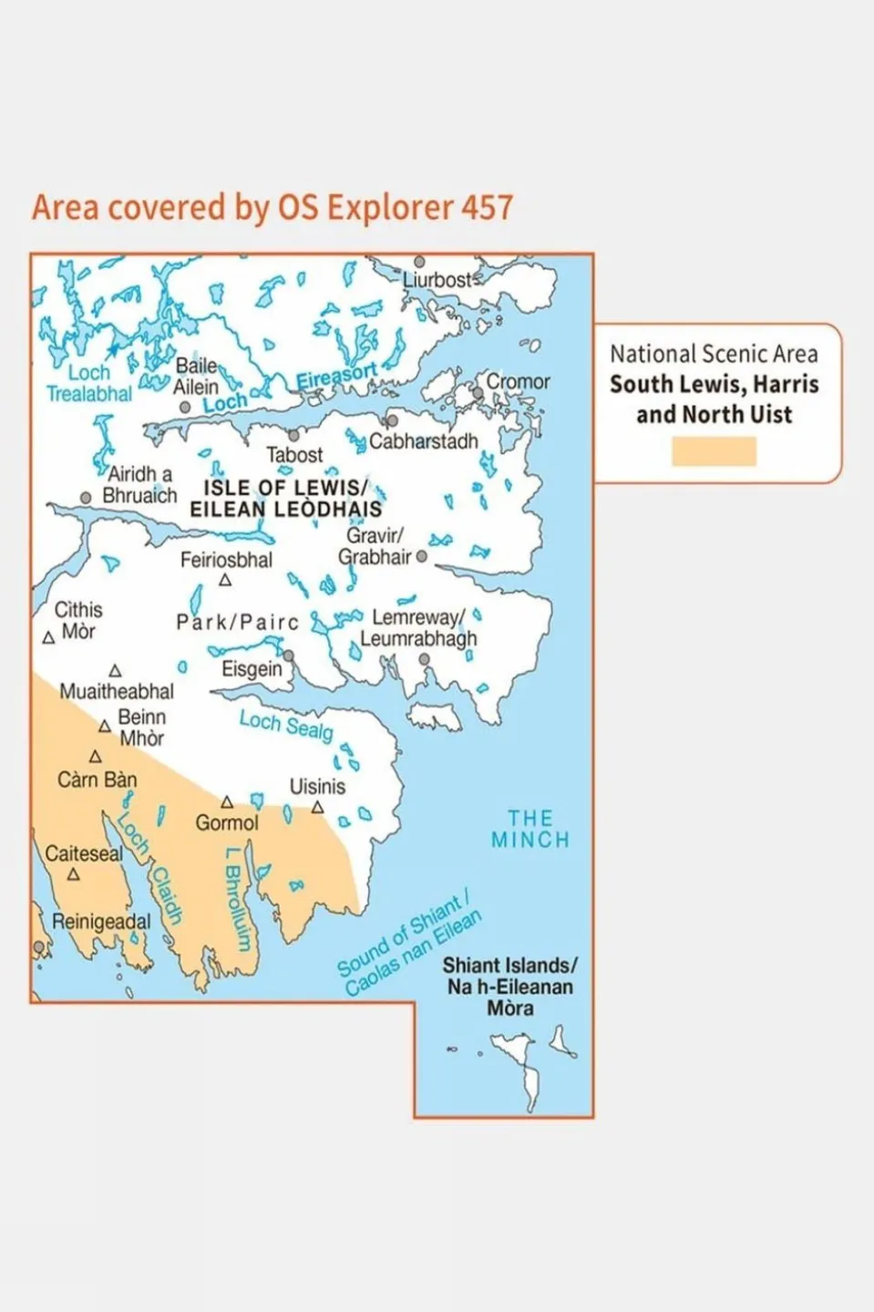
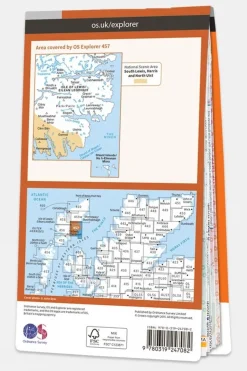

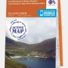
Active Explorer Map 457 South East Lewis
£14.39
Ordnance Survey’s Explorer Maps are renowned for their outstanding detail and clarity, making them a top choice for walkers, climbers, mountain bikers, and outdoor professionals. With a scale of 1:25,000, these maps offer extensive information, and each square of the National Grid is assigned a unique reference number, covering all of Great Britain. Users can find an array of features, including points of interest, picnic areas, campsites, National Trails, and Rights of Way information for England and Wales.
The Active version features a durable plastic coating that makes it weatherproof while remaining easy to fold for convenient storage in pockets or rucksacks. Upon receiving your paper map, you’ll also have the option to download the electronic version for your iOS or Android device using the OS Maps app. To access the download, simply use the unique code hidden under the scratch-off panel on the map’s inside cover. Please note that revealing this code will invalidate any returns or exchanges, but it does not affect your statutory rights.
Technical details
Ideal use:
Walkers, climbers, mountain bikers, outdoor professionals
Materials:
Plastic-coated paper
Key features:
1:25,000 scale for detailed mapping
Weatherproof and tough design
Mobile download available
National Park information
Foldable for easy storage
National Grid squares for
Areas of interest
National Trails
Picnic spots
Campsites
Size and fit:
Folded dimensions: 240 x 135mm


Reviews
There are no reviews yet.